A process for unmapping
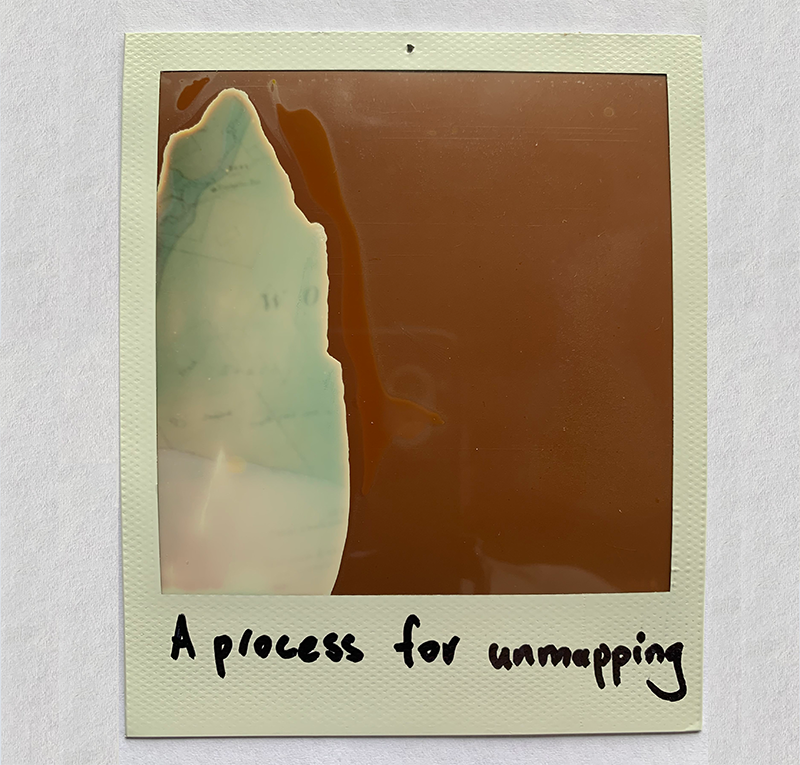
[Image: Speculative Polaroid of F.M. Krause’s 1882 Geological sketch map of the Western Port and Cape Patterson coal fields]
[Audio: Walking through the scrub at Wreck Beach Farm (38°39’15.6″S 145°35’24.7″E), recorded 26 September 2022]