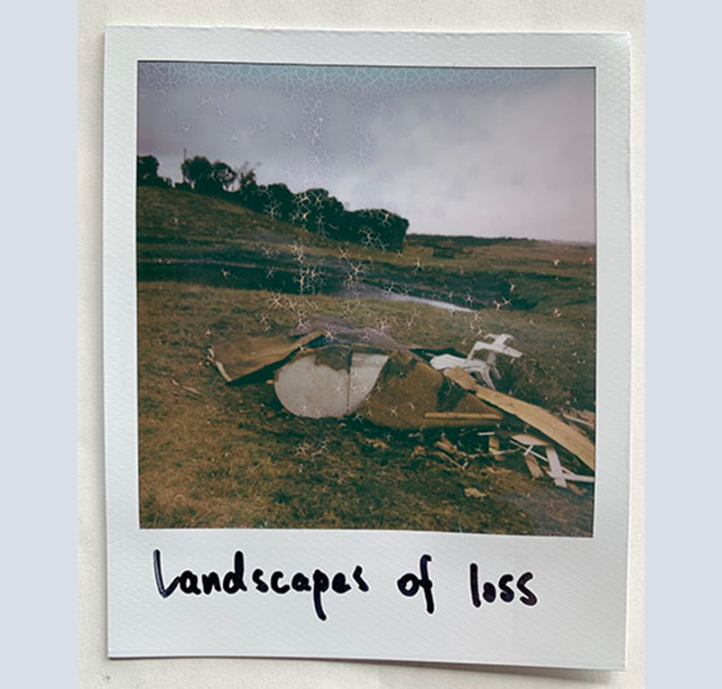
Landscapes of Loss
Landscapes of loss Polaroid and prose speculation.
Continue readingMemoryscoping the Bunurong Coast: A project-based PhD speculating on the intimate and complex histories of a personally significant place
Landscapes of loss Polaroid and prose speculation.
Continue reading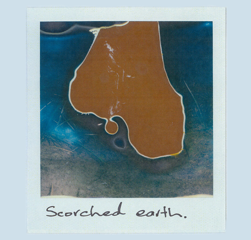
Speculative Polaroid of a wildlife trail in the Wreck Beach dunes (38°39’39.4″S 145°34’54.9″E) and audio of listening to the fire, the ocean, insects and frogsong at a nearby bush campsite.
Continue reading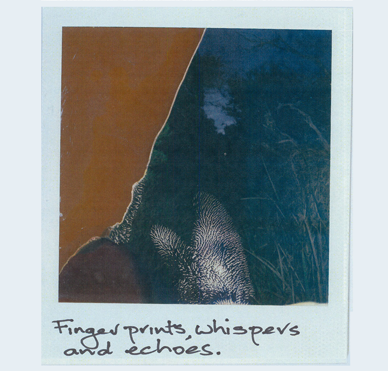
Speculative Polaroid of a wildlife trail through a natural soak near Cape Paterson’s 2nd Surf (38°40’25.7″S 145°36’21.9″E) with audio of the same watercourse, birdsong and the ocean.
Continue reading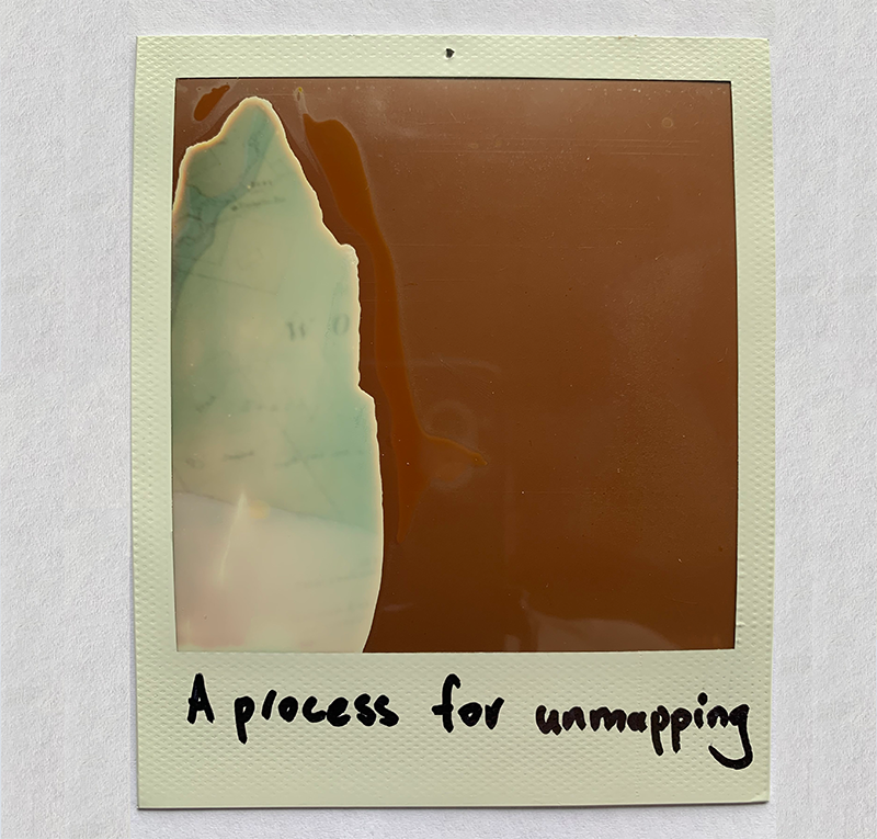
Speculative Polaroid of an 1882 geological map with audio of walking through the scrub of Wreck Beach Farm.
Continue reading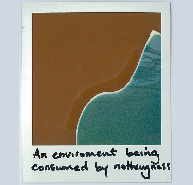
A speculative Polaroid of the Wreck Beach bay (38°39’35.1″S 145°34’51.2″E) combined with audio of heavy rain.
Continue reading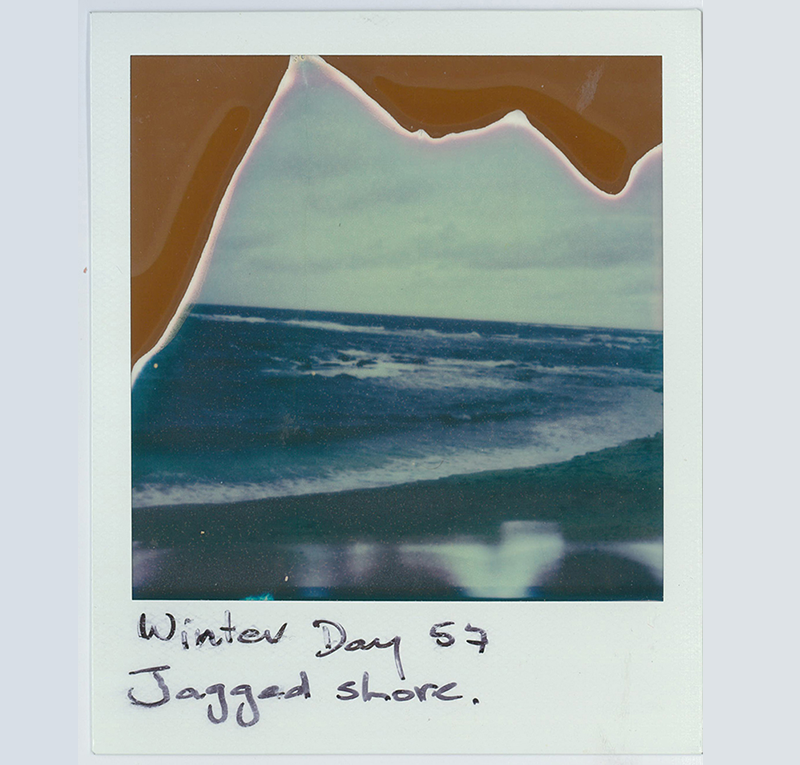
Speculative Polaroid of the ocean at Cape Paterson’s Bay Beach (38°40’25.7″S 145°37’12.1″E) with audio of wind and the ocean at the same location.
Continue reading