Scorched earth
Speculative Polaroid of a wildlife trail in the Wreck Beach dunes (38°39’39.4″S 145°34’54.9″E) and audio of listening to the fire, the ocean, insects and frogsong at a nearby bush campsite.
Continue readingMemoryscoping the Bunurong Coast: A project-based PhD speculating on the intimate and complex histories of a personally significant place
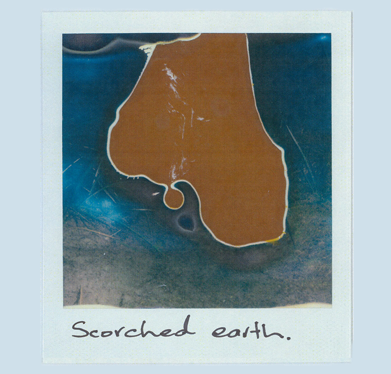
Speculative Polaroid of a wildlife trail in the Wreck Beach dunes (38°39’39.4″S 145°34’54.9″E) and audio of listening to the fire, the ocean, insects and frogsong at a nearby bush campsite.
Continue reading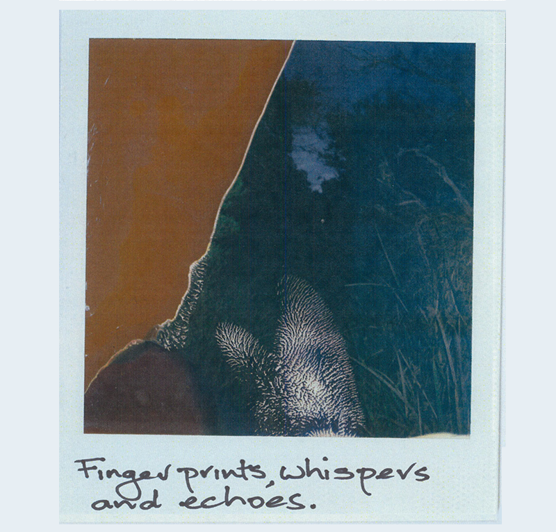
Speculative Polaroid of a wildlife trail through a natural soak near Cape Paterson’s 2nd Surf (38°40’25.7″S 145°36’21.9″E) with audio of the same watercourse, birdsong and the ocean.
Continue reading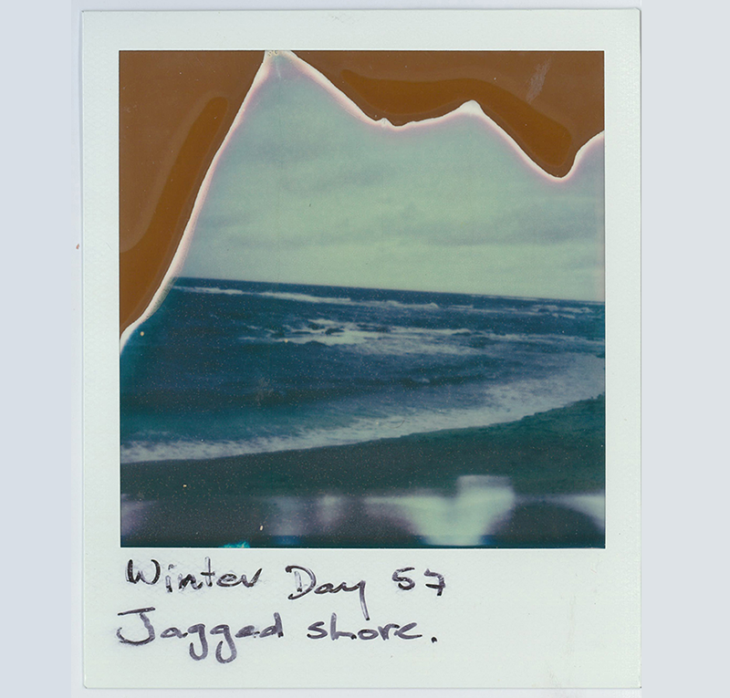
Speculative Polaroid of the ocean at Cape Paterson’s Bay Beach (38°40’25.7″S 145°37’12.1″E) with audio of wind and the ocean at the same location.
Continue reading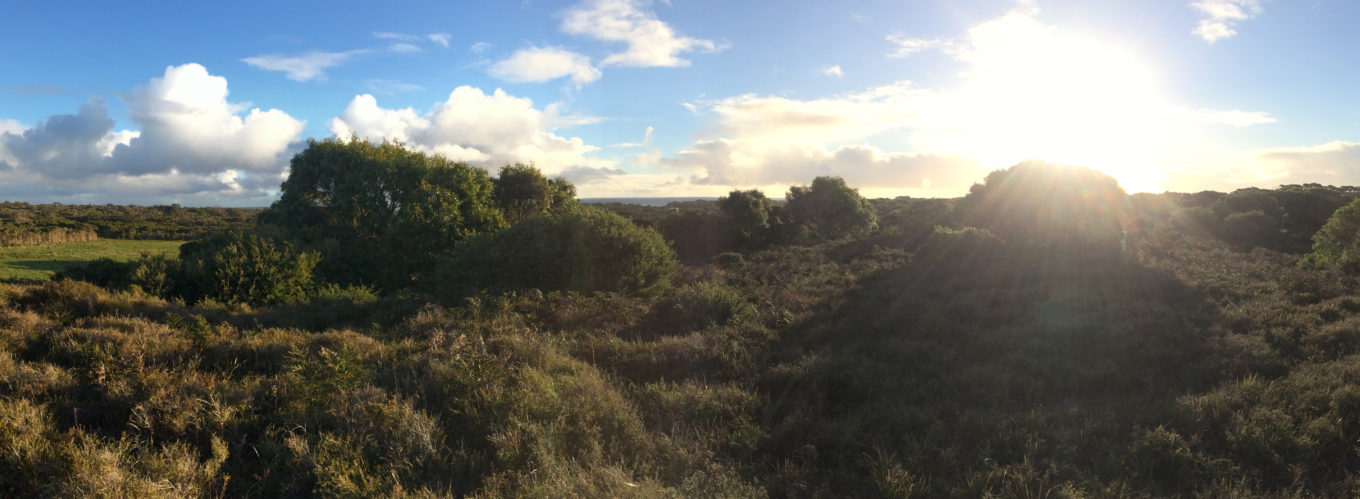
Rain cloud rainbow / Blue white, blue grey, blue black / Crows picking through bracken fields. A view from the ridge at Wreck Beach Farm.
Continue reading