Scorched earth
Speculative Polaroid of a wildlife trail in the Wreck Beach dunes (38°39’39.4″S 145°34’54.9″E) and audio of listening to the fire, the ocean, insects and frogsong at a nearby bush campsite.
Continue readingMemoryscoping the Bunurong Coast: A project-based PhD speculating on the intimate and complex histories of a personally significant place
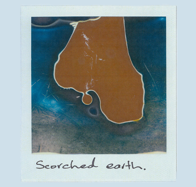
Speculative Polaroid of a wildlife trail in the Wreck Beach dunes (38°39’39.4″S 145°34’54.9″E) and audio of listening to the fire, the ocean, insects and frogsong at a nearby bush campsite.
Continue reading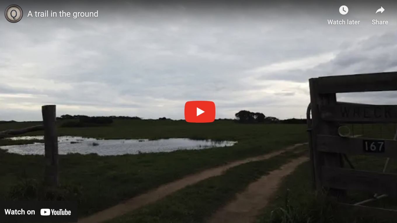
A video presented at RMIT University’s 2020 INTERTEXT Symposium outlining my ‘A Trail in the Ground’ suite of work.
Continue reading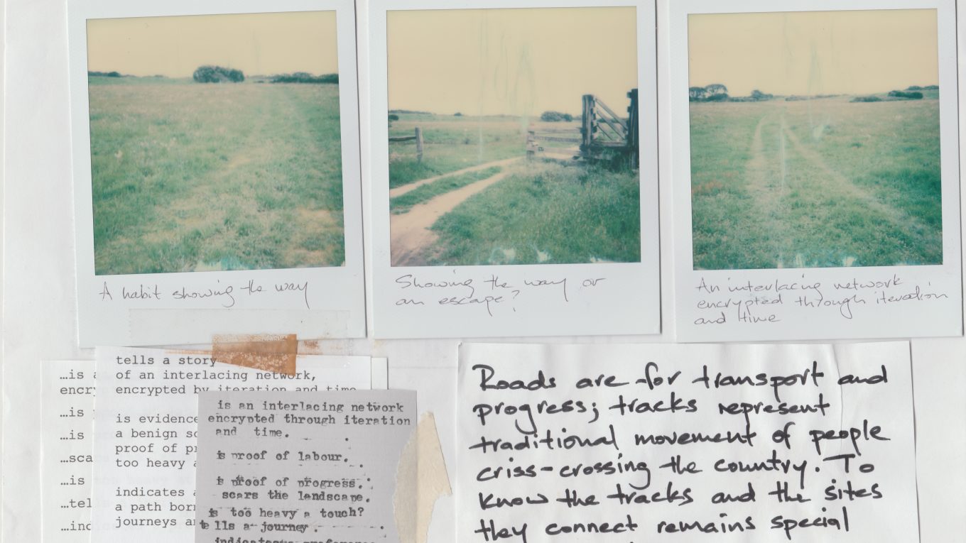
Early attempts at layered mixed-media articulations of the complex implications that can be read into the marks and features encrypted into the ground.
Continue reading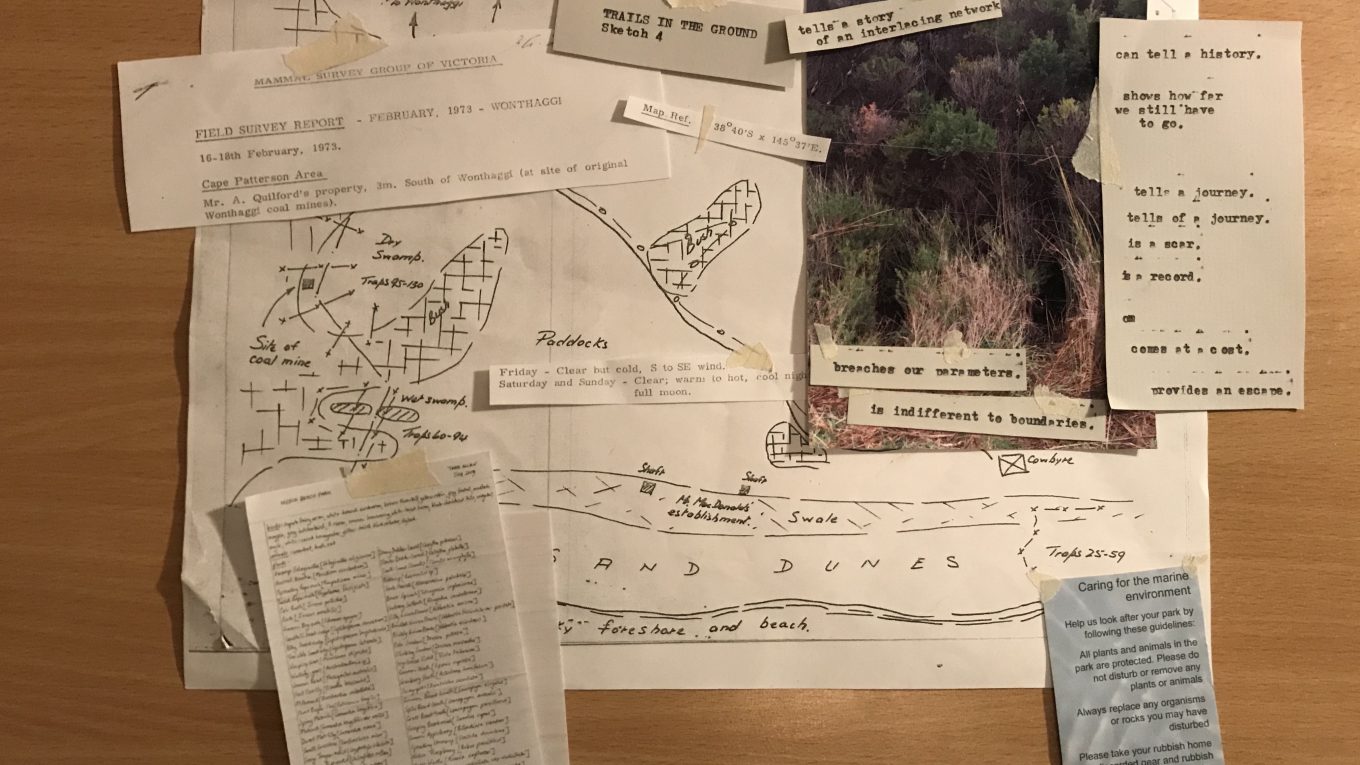
[Scanned copies of layered paper based amalgams, 2020; Rees Quilford] These ‘A Trail in the Ground’ pieces illustrate an early
Continue reading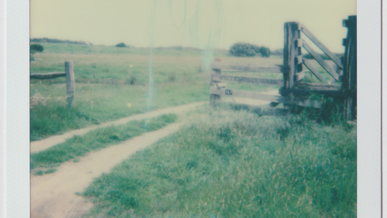
A series of speculative sketches on the various meanings that can be read into a trail left in the ground.
Continue reading