Indistinct boundaries
Speculative Polaroid of a roadside sign on Wilson’s Road at Cape Paterson (38°38’53.7″S 145°36’04.3″E) with audio of cars traversing the same byway.
Continue readingMemoryscoping the Bunurong Coast: A project-based PhD speculating on the intimate and complex histories of a personally significant place
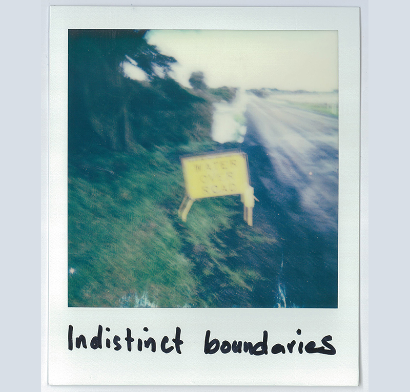
Speculative Polaroid of a roadside sign on Wilson’s Road at Cape Paterson (38°38’53.7″S 145°36’04.3″E) with audio of cars traversing the same byway.
Continue reading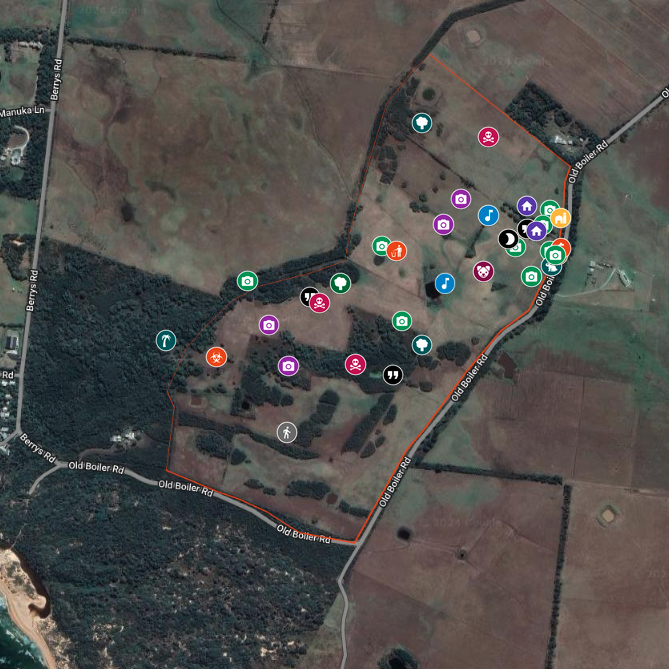
This interactive historical map ‘Reminiscing on the family weekender’ offers a snapshot of the intricacies, complexities, reassurances, and discomforts that accompany my affinity for my family’s property ‘Wreck Beach Farm’ and its surrounds. It tries to understand and articulate the loss I felt when the property was sold and also comprehend the nostalgia I still hold for that place.
Continue reading