Shadow places and greenwashing
There are numerous shadow places on the Bunurong Coast. One need look no further than the damage wrought by more than 150 years of coal mining. The district is littered with abandoned slag heaps covered in ragweed and thistles. Large sections of land have been deemed uninhabitable due to undermining. However, the other less obvious, but far more toxic, example is buried beneath the dunes on Powlett River floodplain.
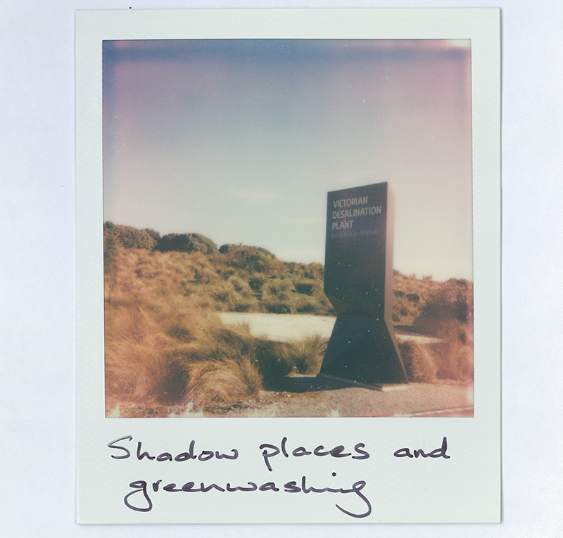
The Victorian Desalination Plant mega facility[1] is an astonishing exercise in greenwashing. The site is located on the land of the Bunurong/Boonwurrung. Gushing signage lauds this cultural legacy and proclaims the amazing biodiversity of the site’s regenerated ecosystem. The site does offer a stunning refuge to walk, run or cycle. It teems with birdlife, animal trails and stunning views of the Kilcunda coastline. A six-turbine windfarm also generates renewable power in the adjacent property. But all of that is sleight of hand.
Desalination is a dirty business. The industrial mechanisms powering this mega facility are conveniently buried beneath the dunes. The environmental costs remain out of sight, out of mind. The enormously power-intensive desalination process remains reliant on brown coal power. Each time the plant draws an intake of seawater to desalinate, 17 tonnes of organic matter – fish life, seaweed, plankton and birds – has to be filtered out. It’s wildlife and plant life that’s slain then trucked across the state into landfill. What's more, a water-tight public-private contract means Victorian citizens pays for desalinated water irrespective of whether it’s used or not.
Then there is the innate tension that comes with the agricultural activities that thrive throughout the Bunurong Coast.
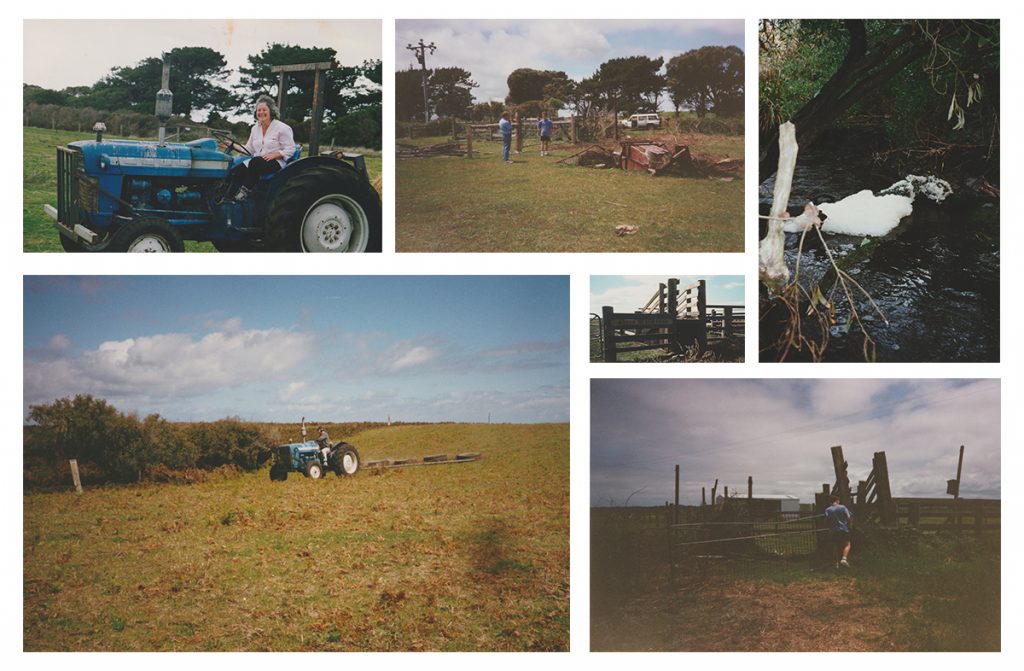
Almost without exception, my family and the farmers throughout the district tend to their lands with dutiful, attentive care. My grandparents and parents were both particularly interested in the health of the flora and fauna on and around their properties, to the point where they arranged a series of field surveys of the biodiversity of the properties.[1] However, industrialised agricultural practices change and challenge the landscape itself. They mark, scar, and modify the landscape.
My family’s decision to run cattle while at the same time actively segmenting large sections of the Wreck Beach Farm property for rewilding is a concrete example of this tension. Close examination of the benefits and costs of those choices highlights complications and contradictions. The care for this farm allowed extensive regrowth of native flora – it now provides habitat for an abundance of native wildlife. However, facilitating that natural regeneration did not come without costs – financial, cultural, and ecological.
Clearing the land has fundamentally changed the natural rhythms of this place. Vibrant creeks no longer flow, once abundant eels and native trout are scarce. In an interview recorded back in 1982, long time Wonthaggi resident Jim Longstaff reflected on how common agricultural practices impacted the ecology at Wreck Beach during his lifetime.
[Audio: Jim Longstaff (interviewed by Joe Chambers) reflects on catching trout and eels at Wreck Beach and how argiculture has changed the ecology of the place. Source: Wonthaggi and District Historical Society, recorded 1987.]
Rewilding tracts of Wreck Beach Farm was achieved through privilege, in both the present and the past. During my lifetime, it was enabled by the financial position of our family. However, considered in a broader historical context, these activities were enabled through the violent and illegal dispossession that came with the European invasion. On an agricultural and material level, the careful cultivation of Wreck Beach Farm has also indirectly yet adversely affected other places. Numerous ‘shadow places’ have suffered damage or degradation to provide the feed, fuel and fertilizer that has been ploughed into the ground of that farm.
Notes
[1] These family archives include various field surveys of the Quilford family’s farms. One was conducted by the Mammal Survey Group of Victoria (1973), while another is a beautiful three-page hand-written list of plant and bird life observed on Wreck Beach Farm, which was compiled by local amateur botanist Terri Allen (2009). The documents provide a wonderfully rich and detailed site-specific survey of the plant and wildlife diversity spanning four decades. They can be seen in Figure 14.
These so-called trifling consequences are written off as the unavoidable cost of maintaining modern life and lifestyle. But they are troubling histories worthy of elaboration.
[1] Upon its completion in 2012, the Victorian Desalination Plant. was the largest desalination facility in the Southern Hemisphere.